
Serving Proudly As The Voice Of Valley County Since 1913
Serving Proudly As The Voice Of Valley County Since 1913
Unforeseen: Slow to Thaw, Deep Frost Causes Flooding
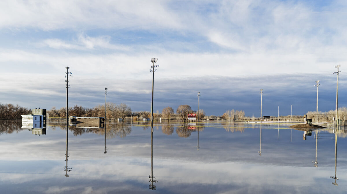
Sullivan Park near Glasgow, Mont. reflects in the flood waters of the Milk River on a 2019 March morning.
It was just March 13 when the headline on the Glasgow Courier's front page read NWS Flood Projections Look Good for Glasgow, the article stating there was a prediction of less than a five percent chance of major flooding. Less than two weeks later however the Milk at Tampico and Glasgow was climbing slowly towards major flood stage. As of Friday, April 5, the Milk at Glasgow had receded and fallen back below flood stage, leaving a path of washed out roads, torn down fences, ruined implements and more in its wake.
The Courier sat down with Patrick Gilchrist, the warning coordinator meteorologist at the Glasgow National Weather Service, to talk about what went wrong in the flood projections this year and why it seemed the high water came out of nowhere.
In March, Gilchrist had said in an interview that, although there was considerable snow pack in and around Glasgow, much of the Milk Basin lacked snow. He also made clear that the snow accumulated in and around Valley County did not contain a large amount of water. Taking those factors into mind, the Missouri River Basin Forecast Center (MRBFC) in Pleasant Hill, Mo., which monitors the entire basin from Yellowstone to St. Louis, predicted a low to moderate flood event. Those predictions had accounted for abnormalities and did predict a five percent chance at major flooding.
Last week in response to the question, what went wrong? Gilchrist said, "The cause was frozen ground. Something we do not have the ability to measure."
The meteorologist explained that, although Northeast Montana had a dry fall, January and February were especially wet months with warmer than normal temperatures. As the moisture melted, it soaked into the ground and saturated the soil. Then when the Arctic blast hit in mid-February, the extreme colds sent the frost depth down to around six feet. Gilchrist said the NWS had been aware of breaking water lines and Dry Prairie notices to run pencil-sized streams through faucets, but the consequences had not yet been realized.
"No two floods are the same," said Gilchrist. He went on to explain that as the snow melted, the ground frost prevented most of the run-off water from soaking into the ground. As temperatures rose, much of the water arrived in the Milk River near Glasgow at about the same time causing the water to rise rapidly.
"This is not the situation we like to be in," said Gilchrist. "We like to be proactive instead of reactive. We are going to be looking at what happened closely to improve the outlooks." He went on to say that until this year, frost depth had not been considered in the basin's models for flood projections and as the events unfolded, the MRBFC had to "hack" their models to account for the lack of soil absorption as well as accounting for frost depth in projections.
Gilchrist said the Weather Service was already working on networks designed to monitor frost depth. Among them is Montana MesoNet, a service of the Montana Climate Office, which is installing soil moisture and temperature probes across Montana. The Weather Service is intent on using that data to consider future outlooks and forecasts.
A separate network is run by the Army Corps of Engineers. The Corps is testing equipment to form a network of stations along the Missouri that will also measure soil moisture and temperature. The Corps' intent is to use the information in their mission to manage the basin's reservoirs, flood plains and emergency management systems.
Gilchrist said the hope at the Weather Service is that this flood will add to the ability of the service to better predict floods in the future. The prediction models used will likely be changed to account for the new data.
"We empathize with the people who had to respond because of our outlooks," said Gilchrist. "We are looking at what happened to respond going forward to make sure our outlooks are where they should be. This is not where we want to be, we are in the business of providing quality outlooks that people can rely on to plan and make decisions."
Finishing out the interview Gilchrist offered his outlook stating, "I'm happy to see the downward trend (of the water level), so we can reset the basin before spring rains hit. If we get an unseasonably wet season we could see more flooding."
Reader Comments(0)