
Serving Proudly As The Voice Of Valley County Since 1913
Serving Proudly As The Voice Of Valley County Since 1913
More Is On The Way: Forecast Calls For Heavy Rains, Northeast Montana Flood Watch Through Friday
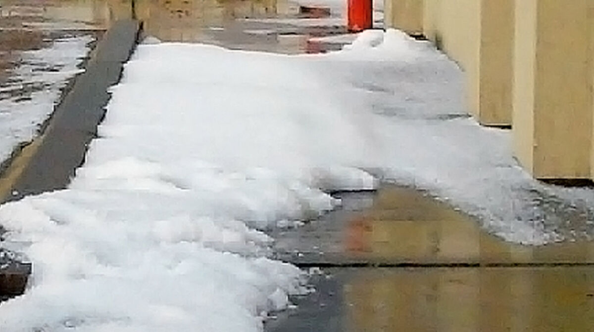
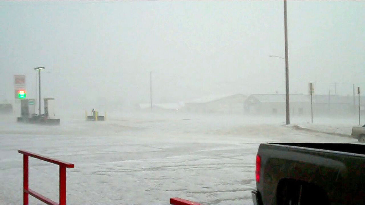
A photo taken at Ezzie’s Westend convenience store Saturday evening shows hail drifting like snow. Glasgow had a record 1.53 inches of precipitation and experienced some flash flooding.
If you were in it, like Glasgow was Saturday evening, the hail storm was bad. But only some areas were hit while most others escaped.
Glasgow was subjected to a heavy downpour that turned into pea-size and larger hail after 7 p.m. It was a record rain for the date, 1.53 inches, and it didn’t take long to create flash flooding. Although not as bad as the storm of 2007, tender plants were destroyed and some tree leaves were stripped and washed into storm drains, causing jams. The underpass was closed and there was 8 to 10 inches of standing water on U.S. 2. A foot of water was reported near East Side School and in the Reynolds Market parking lot.
Hail was reported in other areas too. Four miles west of Fort Peck, .75 inches of rain and hail fell just after 5 p.m. About 6 p.m., 1.5 inches of the stuff was reported 5 miles east of Glasgow. Other reports came from 16 miles north-northeast of Glasgow and 13 miles south-southwest of Frazer.
Scattered reports of hail came in on Sunday from the Pines and from 20 miles south of Opheim, but Glasgow was clear and sunny.
A washout of the railroad track by Culbertson was reported on Tuesday, but the National Weather Service office in Glasgow could not confirm this.
The NWS did not receive any reports of crop damage. According to one Glasgow farmer, wheat that may have been hit is still young enough to re-grow successfully.
More heavy rain is predicted in the area from Wednesday through Friday morning, as much as 2 or 3 inches, and a flood watch has been issued for all of northeast Montana, including as far south as Winnett and Terry.
Reader Comments(0)